
These lessons are organized to help you decide where to start.
Each example below shows the structure before you click out to TpT.

Students compare Indigenous and current place-names to notice patterns
AI support helps generate visuals and discussion scaffolds
Designed for whole-class discussion in one to two periods
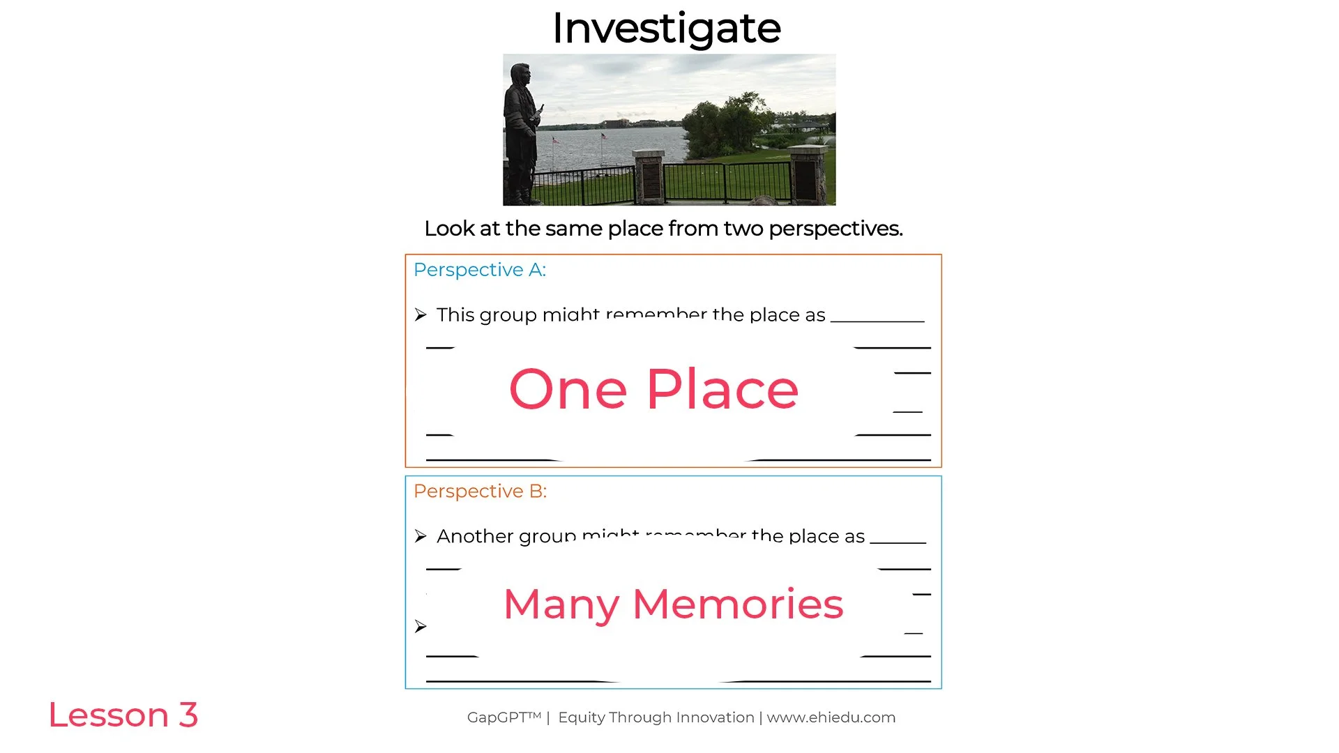
Students examine one location from multiple perspectives and identify similarities and differences
AI support can help generate alternative viewpoints or guiding questions for discussion
Designed for structured partner talk followed by whole-class synthesis
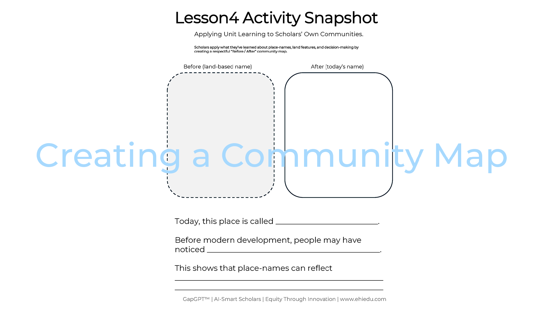
Students create a community map showing how a place has been named and understood over time
AI support helps generate mapping prompts, sentence frames, or extension questions
Designed for reflective writing and discussion within a single class period